 行程・コース
天候
晴れ
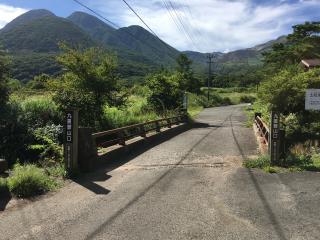
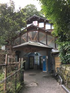
登山口へのアクセス
マイカー
この登山記録の行程
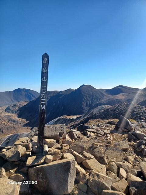
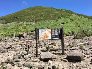
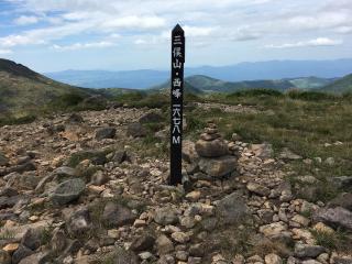
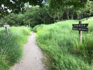
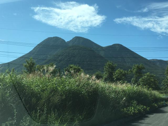
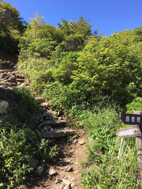
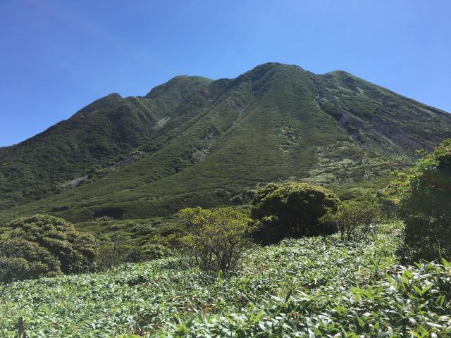
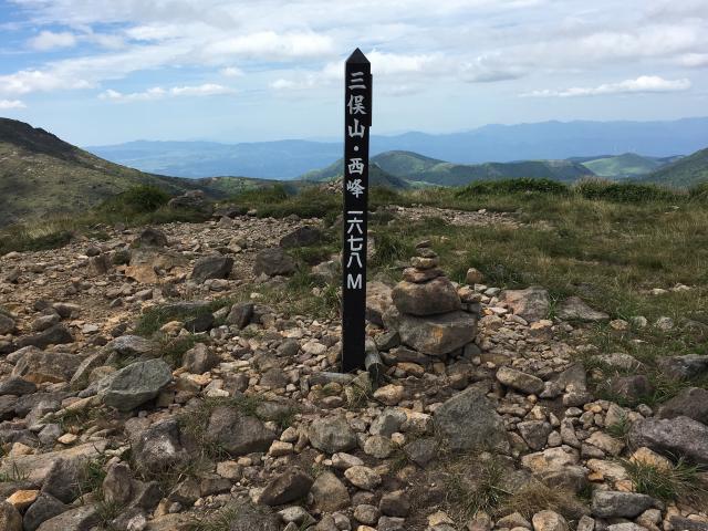
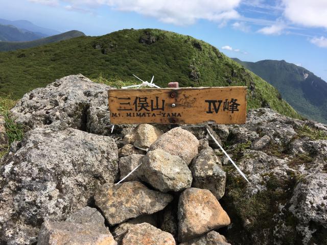
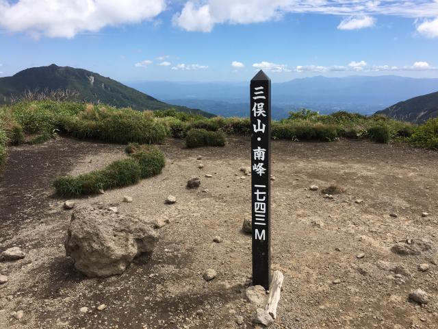
長者原(9:00)-すがもり越え(11:00)-南峰(11:45)-本峰(12:40)-坊ガツル(13:40)-雨ヶ池(15:05)-長者原(16:22)
高低図
 登山記録
登山記録
行動記録・感想・メモ
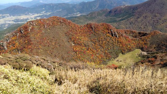
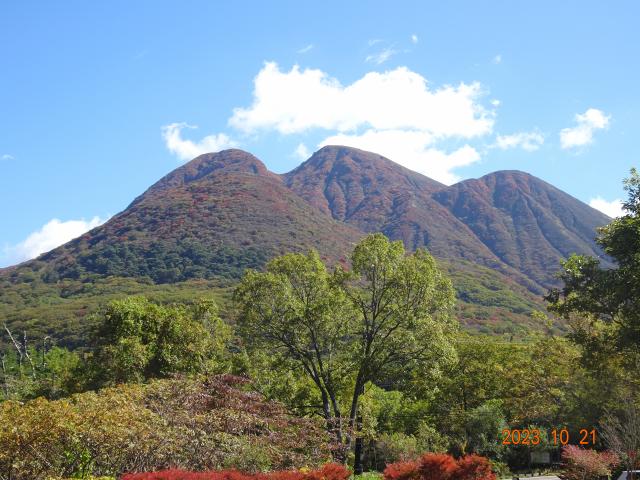
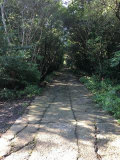
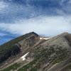
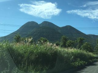
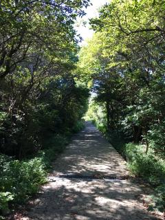
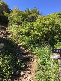
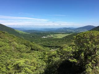
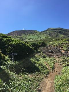
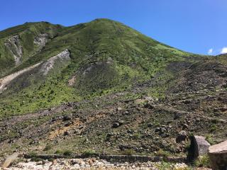
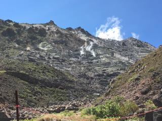
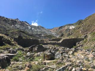
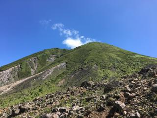
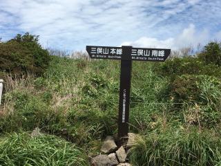
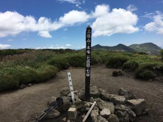
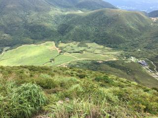
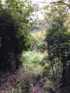
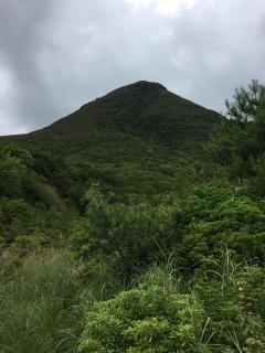
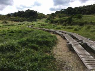
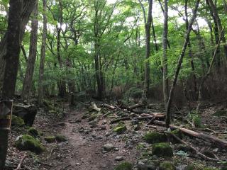
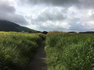
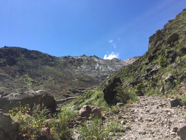
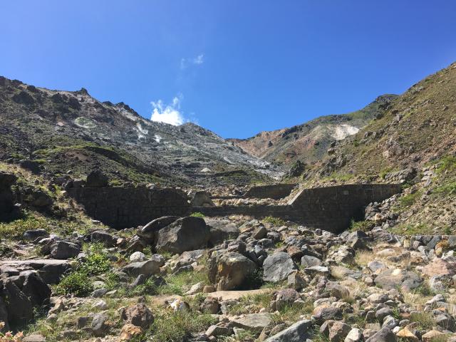
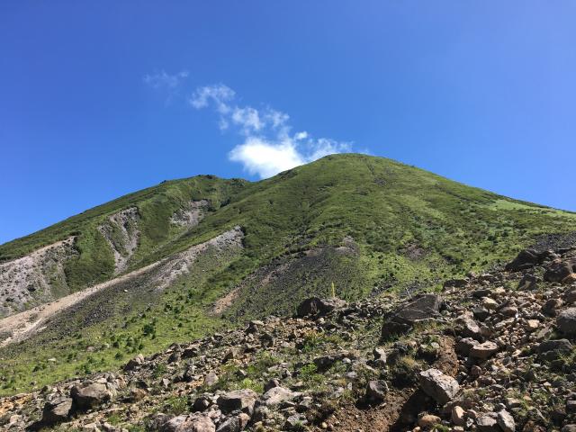
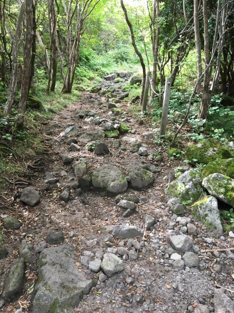
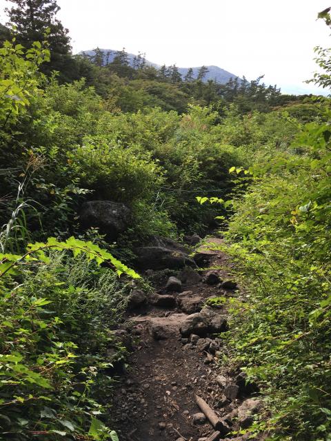
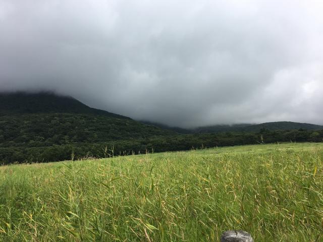
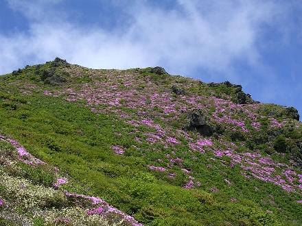
初秋の清々しい天候の中、九重三俣山に登頂してきました。長者原からすがもり越えのルートをチョイス、両サイドからの木々が迫り、樹木のアーケード路を30分程ハイキング気分で、途中左に折れ緩やかな登山路にて難なく最初の西峰に、本峰、南峰にて眺望を満喫。
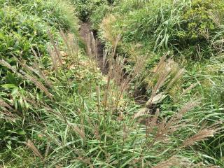
南峰からの坊ガツルへの下りはちょっと大変だったがGPSでルート通りに下り、雨ヶ池経由し長者原に到着。やはり九重連山は面白い!楽しい!美しい!の三拍子そろった安らぎの地だ!
来月は紅葉を楽しみに大船山に初挑戦しよう!
フォトギャラリー:36枚


-
Exif情報
 Apple iPhone 6s
ISO: 25 Speed:1/1789 f値:2.2
緯度: 33.121997222222 経度: 131.22897222222 -

Exif情報
Apple iPhone 6s
ISO: 25 Speed:1/1508 f値:2.2
緯度: 33.117802777778 経度: 131.22935555556 -

Exif情報
Apple iPhone 6s
ISO: 25 Speed:1/120 f値:2.2
-
Exif情報
Apple iPhone 6s
ISO: 25 Speed:1/601 f値:2.2
-

Exif情報
Apple iPhone 6s
ISO: 25 Speed:1/1326 f値:2.2
-

Exif情報
Apple iPhone 6s
ISO: 25 Speed:1/1054 f値:2.2
-
Exif情報
Apple iPhone 6s
ISO: 25 Speed:1/1425 f値:2.2
緯度: 33.104063888889 経度: 131.23225277778 -
Exif情報
Apple iPhone 6s
ISO: 25 Speed:1/1183 f値:2.2
-

Exif情報
Apple iPhone 6s
ISO: 25 Speed:1/1083 f値:2.2
-

Exif情報
Apple iPhone 6s
ISO: 25 Speed:1/1261 f値:2.2
-
Exif情報
Apple iPhone 6s
ISO: 25 Speed:1/1040 f値:2.2
緯度: 33.097844444444 経度: 131.23771666667 -
Exif情報
Apple iPhone 6s
ISO: 25 Speed:1/864 f値:2.2
緯度: 33.097861111111 経度: 131.23758055556 -

Exif情報
Apple iPhone 6s
ISO: 25 Speed:1/1083 f値:2.2
-
Exif情報
Apple iPhone 6s
ISO: 25 Speed:1/1876 f値:2.2
-

Exif情報
Apple iPhone 6s
ISO: 25 Speed:1/2024 f値:2.2
-
Exif情報
Apple iPhone 6s
ISO: 25 Speed:1/1183 f値:2.2
-

Exif情報
Apple iPhone 6s
ISO: 25 Speed:1/2481 f値:2.2
-
Exif情報
Apple iPhone 6s
ISO: 25 Speed:1/864 f値:2.2
緯度: 33.103911111111 経度: 131.24650555556 -
Exif情報
Apple iPhone 6s
ISO: 25 Speed:1/557 f値:2.2
緯度: 33.103908333333 経度: 131.24649166667 -

Exif情報
Apple iPhone 6s
ISO: 25 Speed:1/557 f値:2.2
緯度: 33.103908333333 経度: 131.24649166667 -

Exif情報
Apple iPhone 6s
ISO: 25 Speed:1/680 f値:2.2
-
Exif情報
Apple iPhone 6s
ISO: 25 Speed:1/1326 f値:2.2
緯度: 33.102547222222 経度: 131.24711666667 -
Exif情報
Apple iPhone 6s
ISO: 25 Speed:1/1923 f値:2.2
-

Exif情報
Apple iPhone 6s
ISO: 25 Speed:1/549 f値:2.2
-

Exif情報
Apple iPhone 6s
ISO: 25 Speed:1/60 f値:2.2
-

Exif情報
Apple iPhone 6s
ISO: 25 Speed:1/1451 f値:2.2
-
Exif情報
Apple iPhone 6s
ISO: 25 Speed:1/668 f値:2.2
-
Exif情報
Apple iPhone 6s
ISO: 32 Speed:1/30 f値:2.2
-

Exif情報
Apple iPhone 6s
ISO: 25 Speed:1/1304 f値:2.2
緯度: 33.113108333333 経度: 131.2518 -
Exif情報
Apple iPhone 6s
ISO: 25 Speed:1/234 f値:2.2
-

Exif情報
Apple iPhone 6s
ISO: 100 Speed:1/30 f値:2.2
-

Exif情報
Apple iPhone 6s
ISO: 25 Speed:1/60 f値:2.2
-

Exif情報
Apple iPhone 6s
ISO: 25 Speed:1/1570 f値:2.2
-
Exif情報
Apple iPhone 6s
ISO: 25 Speed:1/641 f値:2.2
-

Exif情報
Apple iPhone 6s
ISO: 50 Speed:1/30 f値:2.2
緯度: 33.163902777778 経度: 131.22569166667 -

Exif情報
Apple iPhone 6s
ISO: 200 Speed:1/20 f値:2.2
緯度: 33.163891666667 経度: 131.22561666667
装備・携行品


 みんなのコメント
登った山
三俣山
1,748m
関連する登山記録